Part of our West Virginia guide.
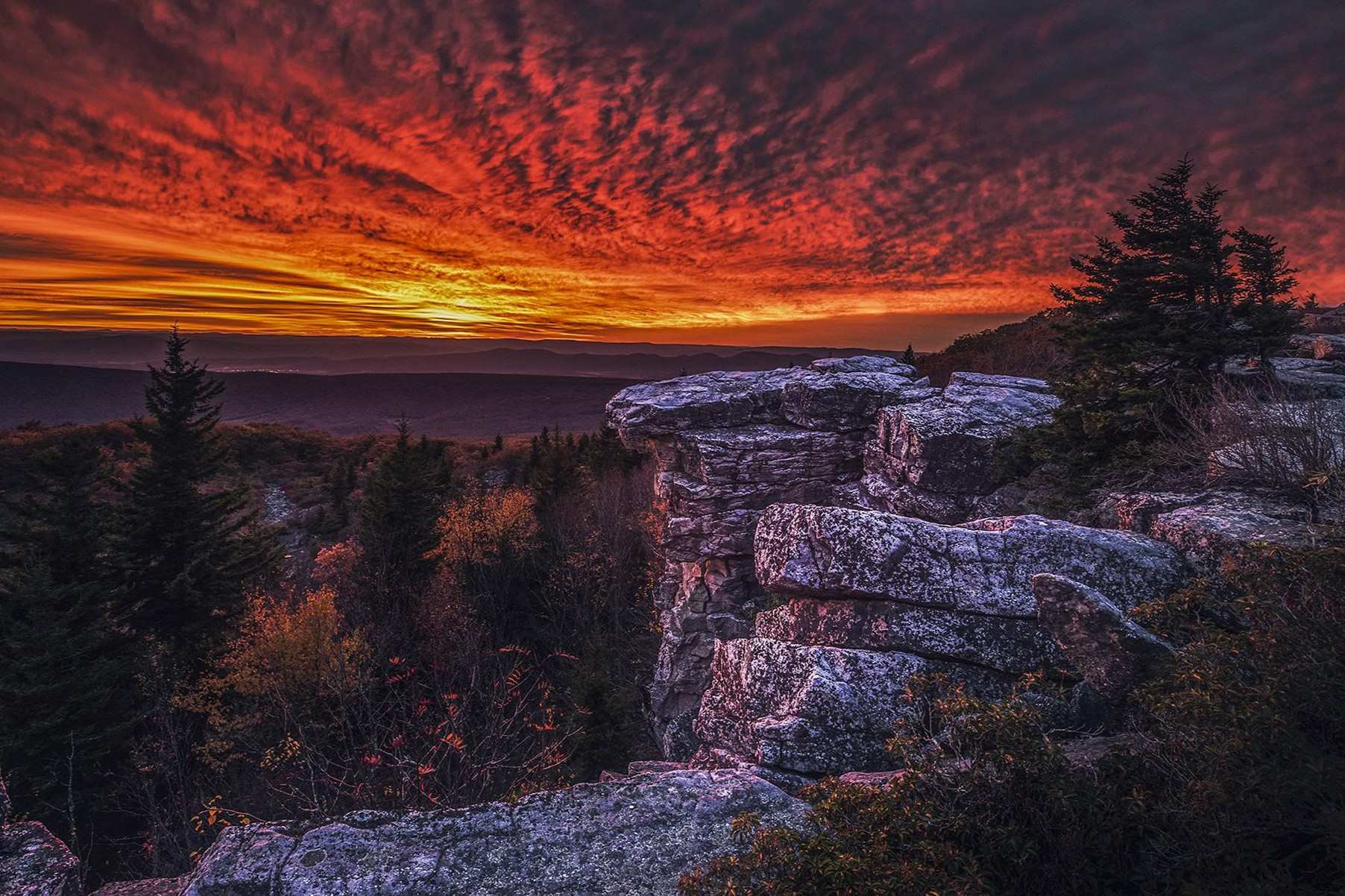
Dolly Sods is a high-altitude wilderness in the Allegheny Mountains. Its scattered rock formations and stone circles draw many visitors to this part of West Virginia. The stones are ancient quartzite outcrops, weathered by frost and time, sitting above the state's only true tundra-like landscape.
Dolly Sods Stones
The Dolly Sods Stones are not a single formation but a collection of rocky plains, boulder fields, and exposed ledges punctuating the open meadows and wind-stunted forests. You will see them along the Rocky Ridge and Raven Ridge trails, where the ground gives way to jumbled quartzite blocks. These stones are part of the same geological layer that forms the nearby Seneca Rocks, though here they lie flat rather than standing as cliffs. The best time to see them is in late spring or early fall, when the understory is clear and the light catches the white quartzite. Carry a map; the trails are not always blazed, and fog can roll in quickly at this elevation.
Dolly Sods Stone Circles
The stone circles in Dolly Sods are low rings of embedded rocks, often a few feet across, that appear in open grassy areas near Red Creek and the upper reaches of the wilderness. No one has confirmed who made them or when; some visitors speculate they are Native American in origin, while others note they could be remnants of early settler activity or natural frost heaving. They are not listed on any official park map, and their remote location means few casual hikers ever see them. To find one, head toward the Bear Rocks Preserve area and look for flat, mossy patches away from the main trail. Do not disturb the stones; the area is protected as part of the Dolly Sods Wilderness.
Dolly Sods
Dolly Sods sits at elevations between 2,600 and 4,100 feet, giving it a climate more like northern Canada than the rest of West Virginia. The landscape shifts from spruce forest to open heath meadows to sphagnum bogs, and the wildlife includes snowshoe hare, saw-whet owls, and a variety of warblers. The most popular access point is the Red Creek Trailhead off Forest Road 19, generally passable from late April through November, though snow can linger into May. The full loop from the trailhead to Red Creek and back is about 12 miles; plan for a full day and carry water, as streams are not always reliable late in the summer. For a shorter walk, the Bear Rocks Trail is under a mile and offers wide views across the North Fork Valley.
Dolly Sods Streams
The streams in Dolly Sods, including Red Creek and its tributaries, run clear and cold over sandstone and gravel beds, and they sustain the area's bogs and wetlands. You can cross most of them by stepping on flat rocks naturally placed in the shallows, but after heavy rain, the water rises quickly. Fishing is limited to brook trout in the upper reaches, and the season follows West Virginia's general trout regulations. The streams also feed the headwaters of the South Branch of the Potomac River, which eventually winds through the lowlands to the east. If you hike the Red Creek Trail, you will parallel the water for nearly two miles, and there are several spots where the current has carved small pools deep enough for a brief, bracing dip in midsummer.
More about Dolly
- West Virginia's Secret Underground Coal Mine Tour
- 10 Hidden Towns In West Virginia's New River Gorge
- Secrets Of West Virginia's Abandoned Rail Tunnels
- Hidden Wonders Of West Virginia's Cranberry Glades Bog Boardwalk
- Secrets Of West Virginia's Lost Salt Mines
- West Virginia's Secret Artisan Villages In The Appalachians
- West Virginia's Secret Gem Glade Creek Grist Mill
- Secret Swimming Holes In West Virginia's New River Gorge
- West Virginia's Secret Bluestone Park And Its Gorge Views
- Secrets Of West Virginia's Coal Tipple Remains
- Secrets Of West Virginia's Lost Salt Works
- West Virginia's Secret: Tundra In The Appalachians
- Hidden Forest Gorges In West Virginia's Sinks Of Gandy
- Ghost Towns Of West Virginia's Haunted River
- Secrets Of West Virginia's Smoke Hole Caverns