Part of our Utah guide.
Utah's mines hide stories of silver, potash, and alabaster, but the most revealing secrets are found in the remains of the boomtowns and tunnels scattered across the state. From the Wasatch Range to the Paradox Basin, these sites document a century of extraction and the people who risked everything for a strike.
Wasatch Range Mines
The Wasatch Range holds more than ski runs and mountain trails. Beneath the ridgelines, historic mines produced gold, silver, and lead from the 1860s through the early 1900s. The most accessible remains are near the Brighton and Alta ski areas, where collapsed adits and tailings piles mark the entrances. The Savage-Ferrin and Columbus-Rex mines operated here, and their waste rock still shows traces of galena and quartz. A short hike along the Alta-Brighton road passes the Catherine Mine, where wooden headframes and a rusted ore cart remain in place. The Forest Service has stabilized some openings, but many shafts drop hundreds of feet, so staying on marked paths is essential. These mines fed the smelters in Sandy and Murray, and their output helped build Salt Lake City. Today, the Wasatch Range is better known for hiking and the outdoors in Utah, but the mine ruins offer a direct link to the state's formative decades.
Silver Reef Mines
The Silver Reef Mines sit near Leeds, about 30 miles northeast of St. George. Unlike most silver deposits, the ore here formed in sandstone, a rarity that made the district famous. Prospectors discovered the silver in 1866, but the boom did not begin until 1875, when the first major claim was filed. At its peak in the 1880s, the town of Silver Reef had 2,000 residents, a newspaper, and three churches. The mines produced over $24 million in silver before the price collapse of 1893 ended large-scale operations. Visitors can walk the remains of the Buckeye and Barbee & Walker mines, where stone foundations and a restored assay office survive. The Silver Reef Museum, housed in the old Wells Fargo building, displays period tools and ore samples. The site is listed on the National Register of Historic Places, and the Bureau of Land Management maintains a self-guided trail with interpretive signs. The nearby ghost town of Modena offers a similar glimpse into rail-era mining camps.
Little Cottonwood Mines
Little Cottonwood Canyon, east of Sandy, holds some of Utah's most productive silver and lead mines. The first claims were staked in 1868, and the district boomed after the Denver and Rio Grande Railroad reached the canyon mouth in 1873. The Emma Mine, discovered in 1871, shipped high-grade silver ore to England and financed a short-lived mining exchange. The town of Alta, at the canyon's head, grew to 1,200 residents and supported 16 saloons. The ore bodies were steeply dipping veins in quartzite, and the miners followed them with narrow shafts and timbered stopes. The remains of the Flagstaff, Columbus, and Magpie mines are visible from the road, with collapsed adits and rusted machinery scattered on the slopes. The Alta Historical Society operates a small museum in the old town hall, and the surrounding Hidden Thermal Springs In Utah's Wasatch Mountains are a short hike away. The canyon's mining era ended by 1910, but the scars on the mountainside remain a testament to the scale of extraction.
Paradox Basin
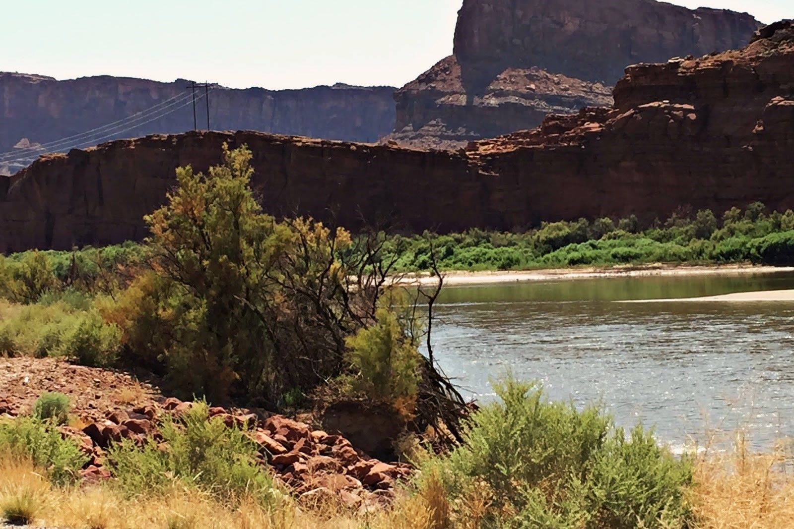
The Paradox Basin, in southeastern Utah, holds the state's largest potash reserves. The mineral lies in underground salt beds of the Paradox Formation, which date to the Pennsylvanian period. Mining began in the 1960s, and the Cane Creek Mine, about 40 miles west of Moab, was the first major potash operation. The mine uses a room-and-pillar method, extracting the ore from depths of 1,200 to 1,800 feet. The potash is dissolved in hot brine, pumped to the surface, and evaporated in a series of ponds. The evaporation ponds, visible from the Potash Road, cover 400 acres and appear as a grid of turquoise and blue squares. The mine produces about 1.5 million tons of potash annually, most of which goes to fertilizer for the western states. The Paradox Basin also contains uranium and vanadium deposits, which were mined sporadically from the 1940s to the 1980s. The remote location and rough roads mean visitors should carry extra water and a full-size spare tire. The Secrets Of Utah's Potash Road Rock Art are found along the same route, with petroglyphs pecked into the sandstone cliffs.
Fish Lake Plateau Mining Camps
The Fish Lake Plateau, in central Utah, hosted a short-lived mining boom in the late 1870s. Prospectors found gold and silver in the volcanic rock near the present-day town of Fremont, and by 1880, the area had several hundred residents. The camps of Bullion, Kimberly, and Elsinore grew around the mines, with log cabins, a school, and a dance hall. The mines were small and operated intermittently until 1910, when the last major operation closed. The remains of the camps are now within the Fishlake National Forest, and a few log structures still stand. The Bullion Mine, located at 9,000 feet, has a collapsed adit and a tailings pile that is slowly being reclaimed by aspens. The nearby Hidden Wonders Of Utah's Fishlake National Forest Aspen Grove is one of the largest single organisms on Earth, covering 106 acres. The mining camps are accessible by a rough dirt road, and the Forest Service has placed interpretive signs at the Bullion site.
Translucent Desert Alabaster Mines
Utah's desert alabaster, a translucent form of gypsum, has been quarried since the early 1900s. The main deposits are in Millard and Juab counties, where the mineral occurs in beds up to 10 feet thick. The alabaster is prized for carving because of its uniform texture and warm, honey-colored light transmission. The quarries are small, often worked by a single family or a cooperative of artisans. The stone is cut into blocks with a diamond saw and then shaped by hand using rasps and sandpaper. The finished pieces range from small bowls to life-size sculptures. One of the most accessible quarries is near the town of Fillmore, where the BLM maintains a collecting area. Visitors can pick up loose pieces of alabaster at the base of the cliffs, but collecting from the active quarry face is prohibited. The Secrets Of Utah's Ghost Rock page documents a similar material found in the San Rafael Swell. The translucent quality is best seen by holding a thin slice up to the light, which reveals the internal veining and color variations.
Lion Hill Mines
Lion Hill, in the Oquirrh Mountains west of Salt Lake City, is the site of several small gold and copper mines. The first claims were staked in 1871, and the mines operated on and off until the 1950s. The ore bodies are in limestone that has been altered by contact metamorphism, creating garnet and epidote skarns. The main adit, known as the Lion Hill Tunnel, runs 800 feet into the mountain and intersects several small stopes. The ore was processed at a small mill on the south slope, and the remains of the mill foundation and a rusted stamp battery are still visible. The mines were never large producers, but they attracted a steady stream of prospectors during the Depression. The area is now part of the Oquirrh Mountains Wildlife Management Area, and the mine ruins are accessible by a short hike from the Pony Express Road. The hidden military trails of Fort Douglas in Utah pass nearby, connecting the historic fort to the mining districts.
More about Mines Secrets
- Secrets Of Utah's Onaqui Mustang Herds
- Hidden Cliff Dwellings Of Utah's Bears Ears
- Secrets Of Salt Harvesting At Utah's Great Salt Lake
- Secrets Of Utah's Lost Turquoise Mines
- Secrets Beneath Utah's Clear Creek
- Secrets Of Utah's Dream Mine
- Secrets Of Utah's Hidden Dinosaur Tracks
- Secrets Of Utah's Ghost Rock
- Secrets Of Utah's Shimmering Mountain Aspens
- Mystery Beneath Utah's Homestead Crater
- Secrets Of Utah's Ancient Lake Bonneville
- Mysteries Of Utah's Factory Butte Footprints
- Secrets Of Utah's Ghost Towns Modena
- Hidden Indigenous Rock Art In Utah's San Rafael Swell
- Secrets Of Utah's Tintic Range Mining Districts
- The Secrets Of Utah's Mirror-Like Salt Flats
- Hidden Wonders Of Utah's Pando Aspen Grove
- Secrets Of Utah's Potash Road Rock Art
- Hidden Thermal Springs In Utah's Wasatch Mountains
- Hidden Treasures Of Utah's Capitol Reef
- Secret Sandstone Arches In Utah's San Rafael Swell
- Secrets Of Utah's Capitol Reef Petroglyphs
- Hidden Wonders Of Utah's Fishlake National Forest Aspen Grove
- Secrets Of Utah's Grand Staircase Sandstone Labyrinths