Part of our Road Trips guide.
Five road-trip beach routes from our coverage, each with a practical guide. Pick one for your next coastal drive, and know what to expect before you go.
Related travel guides: Western Canada In Road Trips, Things To Do In Road Trips, Visiting Sandon, A Cool Ghost Town In British Columbia - Like Where You're Going, The Perfect Fall Road Trip In Québec, and What It Costs In Road Trips.
Driving The Sunshine Coast Of Canada
Starting just north of Vancouver, the Sunshine Coast route runs along British Columbia’s rugged Pacific edge, with panoramic views of the ocean, mountains, and rainforest. You’ll pass through coastal towns like Gibsons and Sechelt, and beaches appear at nearly every turn—Sandy Beach near Roberts Creek is a local favorite for a quick swim. The route is not a continuous highway; you’ll take two short ferries (Horseshoe Bay to Langdale, and Earls Cove to Saltery Bay) to continue north. Plan for about four hours of driving time excluding stops, and check ferry schedules in advance, as they fill up in summer.
Oregon's Abandoned Coastal Highway
Once part of the old US 101 before it was rerouted, the abandoned coastal highway near the Siuslaw National Forest is now a quiet footpath. You can walk or bike the moss-covered pavement for about three miles, with the Pacific visible through the trees. The road is not maintained, so wear sturdy shoes—tree roots and potholes have broken through the asphalt. It’s a short detour off the modern highway, and you’ll likely have the whole stretch to yourself. There are no services, so bring water and a snack.
Taking The Scenic Route: Driving Up North Coast Road In Trinidad
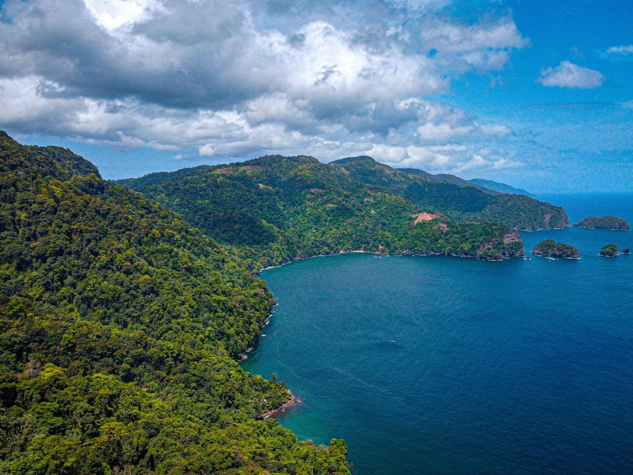
The North Coast Road in Trinidad runs from Port of Spain north to the village of Maracas Bay, a drive of about 20 miles. The road is winding and narrow in places, so allow an hour for the journey. You’ll pass through rainforest and small riverside communities before the road opens to the Caribbean Sea at Maracas Beach, the island’s most famous stretch of sand. The beach has lifeguards on weekends and a row of food stalls selling bake and shark, a local fish sandwich. If you want a quieter spot, continue past Maracas to Las Cuevas Beach, which is less crowded but has no shade.
Azores Travel: Exploring Adventure & Artisan Culture On São Jorge Island
São Jorge, in the central Azores, is a long, narrow island where the main road runs along the northern and southern coasts. Driving from the main town of Velas to the eastern tip at Topo takes about 90 minutes, with the road hugging cliffs that drop straight to the sea. The island’s signature product is its cheese—the local cooperative in Santo Amaro makes a spicy, aged cheese from cow’s milk, and you can taste it at the factory. For a beach, head to the natural swimming pools at Caldeira de Santo Cristo, a crater lagoon reached by a short hike down the cliff. The lagoon is popular with surfers, but the water is calm enough for a swim.
Hiking The South West Coast Path: Newquay To Penzance
The South West Coast Path runs 630 miles along the English coast; the section from Newquay to Penzance is about 60 miles and takes roughly 10 days if you walk it in daily stages. You’ll pass through fishing villages like St. Ives and Porthcurno, with beaches at every headland—the sandy stretch at Porthmeor Beach in St. Ives is a good spot for a midday break. The path is well-marked with acorn symbols, but the terrain is steep in places, with several long ascents and descents. Carry water and a map, as there are stretches with no shops or cafes. If you want to shorten the walk, you can take the train between stations along the route and skip a section.