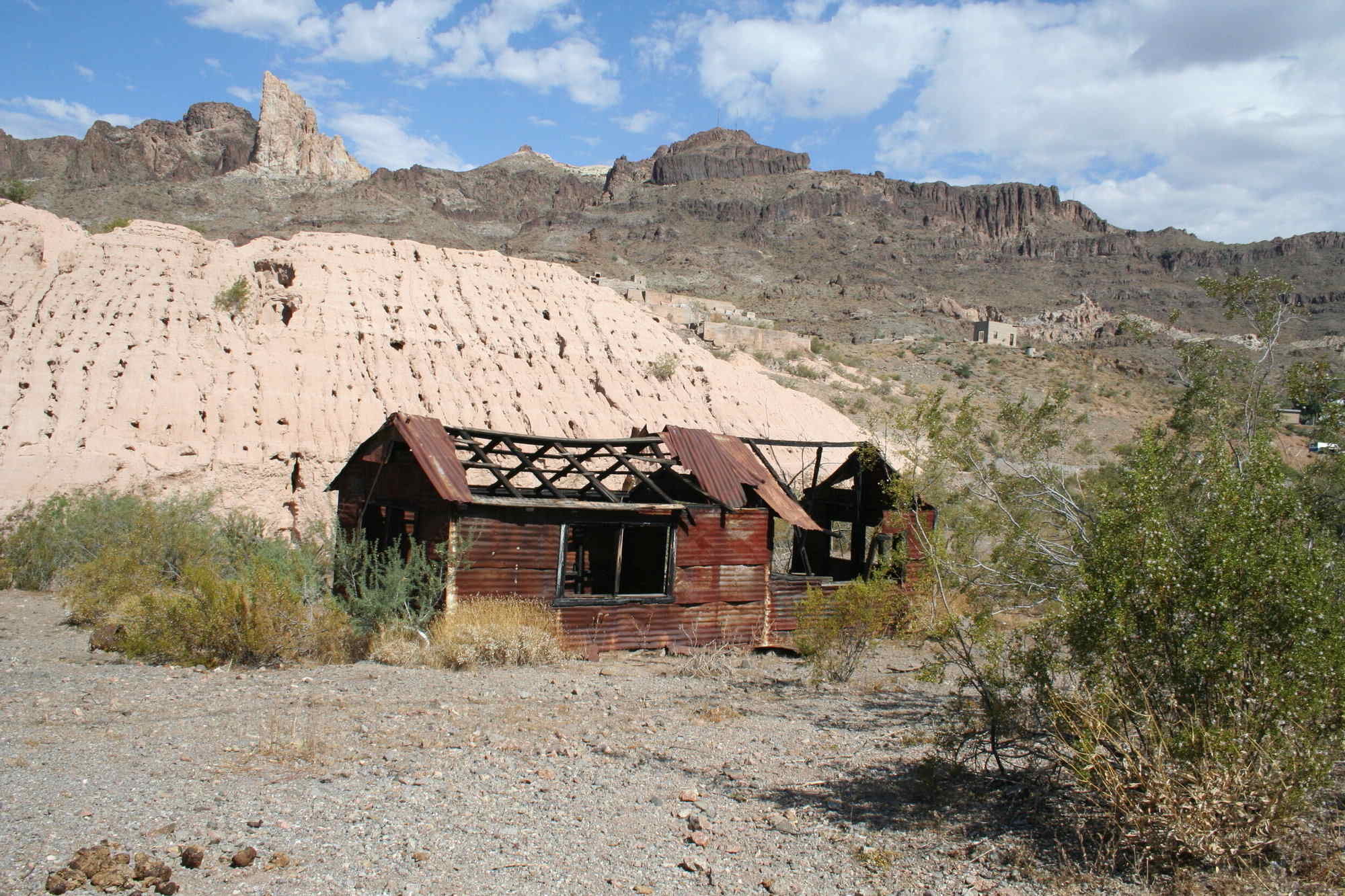
Oatman, Arizona, sits in the Black Mountains as a former gold rush boomtown, and its lost mining claims are the reason most visitors come. The town’s main street still looks much as it did a century ago, with wooden boardwalks and false-front buildings that once housed saloons and assay offices. Wild burros, descendants of the pack animals miners used, wander freely along the roadside, and the surrounding desert hides dozens of abandoned shafts and tunnels. Below are the specific sites where the old claims and the stories around them are concentrated, each with its own documented role in Oatman’s mining past.
The Allure of Arizona's Oatman
Oatman’s mining district produced gold from the early 1900s until the 1940s, and the town itself was named after a young woman who was killed by Apaches in 1851. The boom peaked in the 1910s, when the Tom Reed and United Eastern mines were among the richest producers in Arizona. Today, the town survives on tourism, but the mines and the legends of unclaimed veins remain the core draw. The following locations are where the documented history and the persistent rumors of lost claims overlap.
Related travel guides: Lost Mining Claims Of Arizona's Gold Country, Lost Mining Claims Of Oregon's Ochoco, and Secrets Of Jerome Arizona's Mining History.
1. The Tom Reed Mine
The Tom Reed Mine was one of the most productive gold mines in the Oatman district, operating from 1903 until 1942, when wartime restrictions shut down gold mining nationwide. It produced more than $2 million in gold during its peak years, and the underground workings extend for miles beneath the hillside. The main shaft is still visible from the road, and the tailings pile spreads down the slope, but the entrances are sealed. Some longtime locals maintain that the ore body was never fully exhausted, and that the deeper levels still hold unworked veins. The mine’s history is documented in county records, but the claim boundaries have lapsed, which is why the site attracts both history buffs and those hoping to find a forgotten pocket.
2. The Gold Road Mine
The Gold Road Mine, located about three miles south of Oatman, was another significant producer, with a recorded output of over 300,000 ounces of gold between 1903 and 1924. The mine had its own mill, and the ore was processed on site, with the resulting bullion shipped by wagon to the railroad at Needles, California. The mine closed in the 1930s, and the property changed hands several times before being acquired by a mining company that still holds the mineral rights. The main adit is collapsed, and the headframe has been removed, but the concrete foundations of the mill and the tailings pond remain. The rugged terrain and the presence of unpatented claims nearby mean that the area is not open for casual prospecting, but the site is clearly visible from the road.
3. The United Eastern Mine
The United Eastern Mine was the deepest and richest in the Oatman district, with workings that extended over 3,000 feet below the surface. It operated from 1915 to 1942, and during that time it produced over $10 million in gold, making it the single largest producer in the district. The mine’s headframe and hoist house still stand, and the surrounding hillside is dotted with collapsed adits and ventilation shafts. The mine was worked on a massive scale, with a network of tunnels that connected to the Tom Reed workings underground. The claim is now held by a private company, and the main shaft is capped with a steel grate, but the scale of the operation is still impressive. The history is well documented, but the possibility of unworked side drifts has kept the legend alive.
4. The Boundary Cone
Boundary Cone is a volcanic plug that rises about 1,000 feet above the surrounding desert, and it marks the southern boundary of the Oatman mining district. The cone itself has no recorded gold production, but the slopes around its base contain several small, unrecorded workings that date from the 1920s. These are shallow pits and short adits, likely the work of individual prospectors who never filed formal claims. The area is accessible by a rough dirt road, and the hiking is steep and rocky. The cone’s position at the edge of the district means that any gold found there would have been part of the same geological system that produced the major mines, which is why the area has attracted attention from amateur geologists.
5. The Black Mountains
The Black Mountains stretch for over 100 miles along the Arizona-Nevada border, and the Oatman district sits at their southern end. The range is composed largely of Precambrian granite and volcanic rocks, and the gold deposits are associated with quartz veins that cut through the granite. Prospectors worked these veins from the 1860s onward, and the slopes are pockmarked with hundreds of small, unrecorded diggings. Most of these were worked by individual miners who filed claims, worked them briefly, and then moved on. The claims have long since lapsed, which means the land is open to prospecting under federal law, as long as no active claims are posted. The terrain is rugged, with no water, and summer temperatures regularly exceed 110 degrees, so any serious exploration requires careful planning.
6. The Oatman Hotel
The Oatman Hotel was built in 1902 and served as the town’s main lodging and social hub for decades. It is best known for hosting Clark Gable and Carole Lombard on their honeymoon in 1939, and the room they stayed in is preserved as a tourist attraction. The hotel’s bar, which dates from the 1920s, has a pressed-tin ceiling and a long wooden counter, and the walls are covered with dollar bills signed by visitors. The building also houses a small museum with artifacts from the mining era, including drills, lamps, and ore samples. Some of the older guests have claimed that the hotel’s basement contains a map of the district’s lost claims, but the current owners have never produced such a document. The hotel is still open for tours, and the bar serves food and cold drinks.
7. The Sitgreaves Pass
Sitgreaves Pass is the highest point on the road between Oatman and the Colorado River, at an elevation of 3,600 feet. The pass was the main route for wagons hauling ore to the river, and later for early automobiles. The road is now part of the historic Route 66 alignment, and it winds through the pass with sharp switchbacks and sheer drop-offs. The slopes around the pass are dotted with abandoned mines, most of which are unmarked and unmapped. The pass offers sweeping views of the surrounding desert, and on a clear day it is possible to see the Colorado River and the mountains of California beyond. The area is popular with hikers, and the old wagon road provides a relatively gentle walking route through the mine workings.
8. The Silver Creek Wash
Silver Creek Wash is a dry streambed that cuts through the southern end of the Black Mountains, about five miles east of Oatman. The wash has been worked for placer gold, and the gravel bars along the creek contain fine gold that was washed down from the hills. The placers were worked intermittently from the 1860s until the 1930s, and the total production is unknown but likely small. The wash is accessible by a rough road, and the streambed is wide and sandy, with low cliffs on either side. The area is remote, with no services, and the nearest water is a small spring about a mile up the wash. The placer ground has been largely worked out, but occasional flash floods can expose new gravel bars that sometimes contain color.
9. The Secret Canyon
Secret Canyon is a narrow, steep-sided gorge that cuts into the eastern flank of the Black Mountains, about two miles north of Oatman. The canyon is not marked on any maps, and the entrance is hidden by a low ridge, which is how it got its name. The canyon contains a series of small, unrecorded mine workings, including a short adit that follows a quartz vein about four feet wide. The vein contains visible gold, and the ore was rich enough that it was hand-sorted and packed out on burros. The workings date from the 1910s, and the claim was never formally recorded, which has led to speculation that the original discoverer kept the location secret. The canyon is accessible only on foot, and the entrance is easy to miss unless you know what to look for.
10. The Lost Dutchman's Mine
The Lost Dutchman’s Mine is the most famous lost mine legend in Arizona, but it is not located in Oatman. The story involves a German immigrant named Jacob Waltz, who allegedly discovered a rich gold vein in the Superstition Mountains, east of Phoenix, in the 1870s. The Superstitions are about 200 miles southeast of Oatman, and there is no documented connection between Waltz and the Oatman district. The mine’s location has never been confirmed, and the legend has grown to include curses, murder, and hidden maps. The story is included here because many visitors to Oatman ask about it, and the town’s gift shops sell books about the legend. The Oatman district has its own documented gold production, but the Lost Dutchman’s Mine is a separate tale, and its location remains unknown.
Hidden Riches Await
The lost mining claims of Oatman are a mix of documented history and persistent legend. The Tom Reed, Gold Road, and United Eastern mines have recorded production figures and visible remains, while the smaller workings in the Black Mountains and Secret Canyon are unrecorded and unverified. The area is open to the public, and the Bureau of Land Management maintains several dirt roads that provide access to the most interesting sites. Prospecting is allowed on unclaimed federal land, but the rules require that any gold found be reported and that no mechanical equipment be used. The true value of the area lies not in the gold, which is mostly gone, but in the history that is visible in the abandoned buildings, the rusted machinery, and the deep shafts that dot the hillsides. For those who visit, the adventure is in the search, and the stories are the real treasure.